 Catalogue PIGMA
IFREMER SIH
Type of resources
Available actions
Topics
Keywords
Contact for the resource
Provided by
Years
Representation types
Update frequencies
status
Scale
-
World list of seaports. In its 2021 version, the repository includes 13709 ports for 187 countries. The list of seaports has been drawn up on the basis of the information available in the European reference system of places used in the framework of the Common Fisheries Policy and, more particularly, by the Electronic Recording and Reporting System (ERS), the list of ports identified by the UNECE (2021-1). An assessment of the infrastructures present along the coastline made it possible to identify other ports that were not listed. Each geographical position has been verified with Google Earth in WGS84. Each port is associated with information relating to the country (ISO 3 coding), the UNECE or ERS 5-character coding, the name, the geographical position in WGS84 (latitude and longitude), the status of the port indicating whether it is referenced by Unece (UNECE), by the EU/ERS (ERS) or by both (UNECE/ERS) In case the port is not referenced by UNECE or ERS, the status is N/A. For French ports, the reference system integrates the ports of the French overseas departments and territories with the national codification. Inland ports have also been integrated in 2021.
-
The Bargip project : acquisition of scientific data and knowledge to produce advices on integrated management of European sea bass (Dicentrarchus labrax) in North-East Atlantic.
-
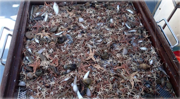
Ecological study of coastal nurseries in the Bay of Biscay: abundance and the quality of benthic and demersal fish juveniles (targeted species: common sole, Solea solea L.), biological indicators, relationship with the physical parameters of the habitats (bathymetry, sediments, hydrology) and with associated epibenthic populations (trawls for observing invertebrates).
-
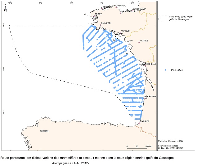
The objective of the PELGAS cruise is to monitor distribution and abundance of pelagic species fished in the Bay of Biscay, using two direct evaluation methods: acoustics and spawning estimates. The cruise was conducted in coordination with France, Spain and Portugal, in the framework of the European council regulations (EC No 1543/2000 of 29 June 2000 and No 1639/2001 of 25 July 2001).
-

The collection of socio-economic data from professional fishermen makes it possible to calculate economic indicators by fleet segment and contributes in particular to evaluating the economic performance of each fleet and the impacts of the implementation of management measures. It also makes it possible to evaluate the weight of French fishing in Europe, the share of fishing in the national and regional economy as well as the attractiveness of the profession and the impact of cost variations such as the cost of fuel.
-
The observation of catches at sea, whether landed or discarded by professional fishing vessels, provides a better understanding of the interactions between fishing activity, resources and marine ecosystems. This system, called ObsMer, is applied in metropolitan France, excluding Corsica.
-
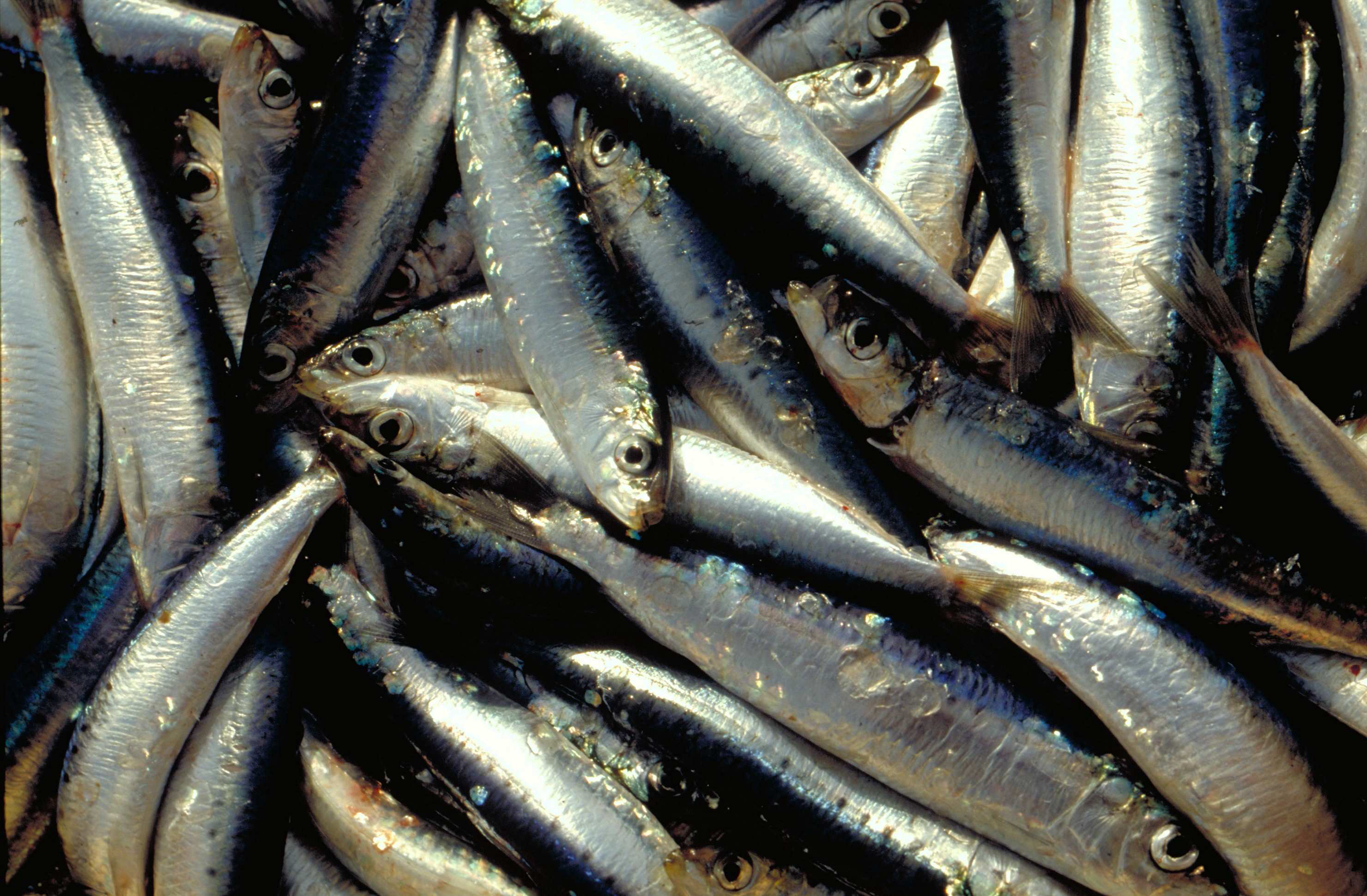
The annual PELMED (PELagiques MEDiterranée) fisheries resource assessment campaign is carried out by the Laboratoire Halieutique Méditerranée of the Ifremer station in Sète. The objectives of these cruises are : 1. Evaluate the biomass of small pelagic fish (anchovies, sardines) by direct method. For this, the campaign must alternate between acoustic prospecting and identification trawling. An acoustic signal is sent from a sounder fixed under the vessel and each time it encounters the bottom or schools of fish, it is reflected and retransmitted to the sounder. In this way, the shape and intensity of these echoes that materialize the schools of fish can be observed continuously. Species identification trawls are carried out in order to define the proportion of species present in the echoes detected. 2. Collecting as many biological parameters as possible on the target species of small pelagics (anchovies, sardines, sprats) to better understand the population dynamics of these species. For this purpose, morphometric measurements, as well as the determination of the sex and maturity stage of the fish are carried out. Finally, otoliths are taken in order to determine the age of the fish. These biological parameters are very important to complete the biomass assessment and have a better understanding of the processes underlying the variability of these populations. This allows for example to determine the age structure or size structure of the populations, to have an idea of their energy reserves, etc. 3. To better understand the pelagic ecosystem as a whole, from plankton to top predators. The primary goal of the PELMED cruise is to evaluate small pelagic stocks, but it also aims to accumulate as much data as possible on the different compartments of the pelagic ecosystem, from physical parameters (temperature, salinity) to top predators (marine mammals, birds), through the different lower trophic levels (phyto- and zooplankton, small pelagic fish). Thus, after each trawling, a hydrological station is carried out with the measurement of temperature and salinity along the water column via a CTD, water and phytoplankton samples with a Niskin bottle and zooplankton samples using a vertical line of WP2. Finally, throughout the campaign we carry out the observation and counting of birds and marine mammals. In addition to the understanding of the ecosystem, this should provide a number of indicators necessary for monitoring the marine environment under the MSFD (Marine Framework Directive).
-

The repository of location in the Fisheries Information System is divided into 3 categories: places on land, areas at sea and regulatory areas at sea. Each of these is organised hierarchically. There are 93 levels of places in Harmonie: a metadata sheet exists for each of them with, when it exists, a geographical layer.
-
The activity calendars of fishing vessels reconstituted each year provide access to the following monthly fishing data: main operating port, number of pepole on board, number of days at sea and of, trade (s) practiced ( s), exploited fishing areas and their distance from the coast. Annual data on the dimension and mesh size of the engines used to practice a trade are also provided.
-
The observation of sales consists of periodically measuring the size of individuals of the main species at auctions and landing points, taking into account the commercial names used at the point of sale. This system, called ObsVentes, is applied in metropolitan France and in the French overseas territories : Guyane, Guadeloupe, Martinique, Réunion and Mayotte.